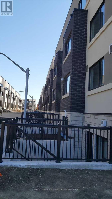
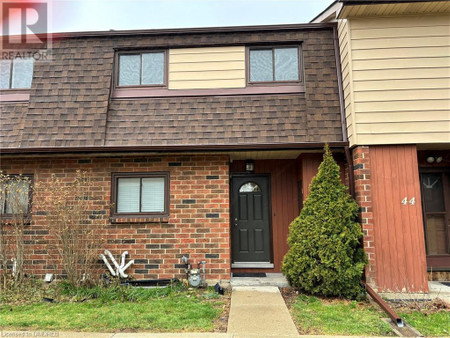
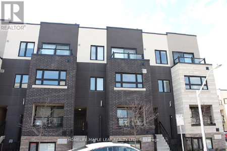
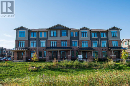
8 Dryden Lane Unit 97, Hamilton
- Bedrooms: 2
- Bathrooms: 3
- Living area: 1320 square feet
- Type: Townhouse
Source: Public Records
Property Details
Brand New 3 Storey Townhouse has 2BR, 2.5 Bath close to HWY and Shopping Mall. Tenant responsible for all utilities (in their name). Full Rental Application, Equifax Credit Report, Job income Verification, references. Available Immediately. (id:1945)
Property Information
- Sewer: Municipal sewage system
- Cooling: Central air conditioning
- Heating: Forced air, Natural gas
- List AOR: Hamilton-Burlington
- Stories: 3
- Tax Year: 2023
- Basement: None
- Appliances: Washer, Refrigerator, Dishwasher, Stove, Dryer
- Directions: URBAN
- Living Area: 1320
- Lot Features: Park setting, Park/reserve, Crushed stone driveway, No Pet Home
- Photos Count: 16
- Water Source: Municipal water
- Parking Total: 2
- Bedrooms Total: 2
- Structure Type: Row / Townhouse
- Common Interest: Freehold
- Parking Features: Attached Garage, Gravel
- Total Actual Rent: 2500
- Bathrooms Partial: 1
- Exterior Features: Brick, Vinyl siding
- Building Area Total: 1320
- Foundation Details: Poured Concrete
- Lot Size Dimensions: x
- Architectural Style: 3 Level
- Lease Amount Frequency: Monthly
Features
- Other: Inclusions: Fridge, Stove, Dishwasher, Dryer And Washer, Foundation: Poured Concrete, Unfurnished, Laundry Access: In-Suite
- Cooling: AC Type: Central Air
- Heating: Gas, Forced Air
- Lot Features: Urban
- Extra Features: Area Features: Hospital, Park, Place of Worship, Public Transit, Schools
- Interior Features: Kitchens: 1, 1 above grade, 1 2-Piece Bathroom, 2 3-Piece Bathrooms
- Sewer/Water Systems: Sewers: Sewer
Room Dimensions
Nearby Places
| Name | Type | Address | Distance |
| Sir Winston Churchill Secondary School | School | 1715 Main St E | 0.7 km |
| Sir Winston Churchill Secondary School (Hamilton, Ontario) | It is a member of the Hamilton-Wentworth District ... | 0.7 km | |
| Glen Brae Middle School | This school, like many other middle schools, has g... | 1.0 km | |
| Boston Pizza | Restaurant | 727 Queenston Rd | 1.5 km |
| East Side Mario's | Restaurant | 750 Queenston Rd | 1.6 km |
| Eastgate Square | The Mall is bounded by Queenston Road (South), Cen... | 1.8 km | |
| Eastgate Square | Shopping mall | 75 Centennial Pkwy N | 1.9 km |
| Mount Albion, Ontario | It was situated near Albion Falls at the north end... | 2.1 km | |
| Hamilton East—Stoney Creek | The riding was formed in 2003 from parts of the fo... | 2.3 km | |
| Hamilton East—Stoney Creek (provincial electoral district) | The riding was formed in 2003 from parts of the fo... | 2.3 km | |
| Kenilworth Avenue (Hamilton, Ontario) | It starts off at the Kenilworth Traffic Circle and... | 2.3 km | |
| Confederation GO Station | The station is named for Confederation Park, nearb... | 2.4 km |
Similar Townhouses Stat in Hamilton
Demographic Information
Neighbourhood Education
| Bachelor's degree | 10 |
| University / Below bachelor level | 10 |
| Certificate of Qualification | 10 |
| College | 45 |
| University degree at bachelor level or above | 15 |
Neighbourhood Marital Status Stat
| Married | 120 |
| Widowed | 35 |
| Divorced | 35 |
| Separated | 20 |
| Never married | 140 |
| Living common law | 30 |
| Married or living common law | 145 |
| Not married and not living common law | 220 |
Neighbourhood Construction Date
| 1961 to 1980 | 50 |
| 1991 to 2000 | 15 |
| 1960 or before | 75 |