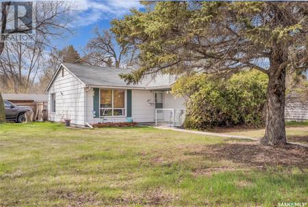
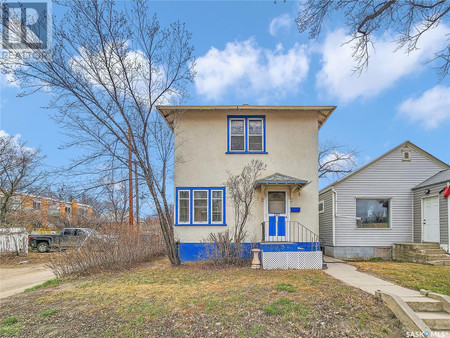
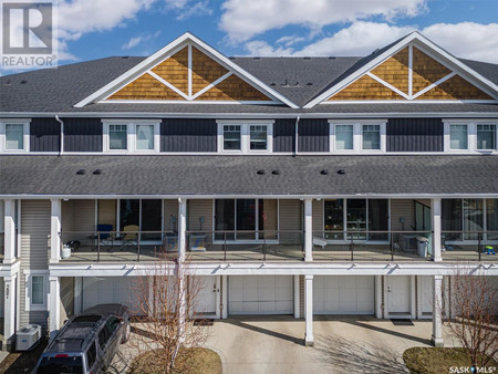
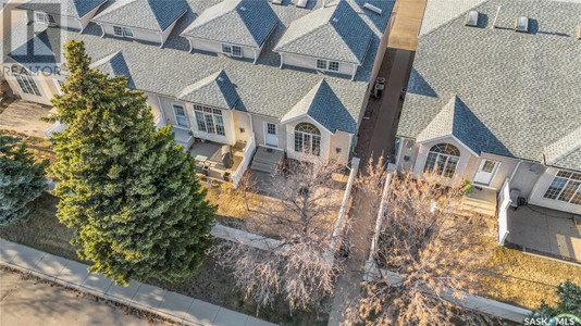
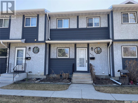
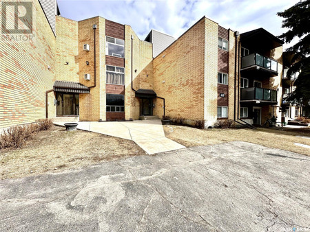
Real Estate listings near Meadowgreen, Saskatoon
Meadowgreen community is a geographically localized subdivision of the Confederation Suburban Development Area in the city of Saskatoon, Saskatchewan, Canada. Meadowgreen is surrounded by an abundance of green space and walking trails without being a River side neighbourhood. The buffer zone along Circle Drive has a newly created walking trail. The southern buffer zone along 11th Street connects to the east with Fred Mendel Park of the Pleasant Hill neighbourhood and to the west with the off leash dog run located in the Confederation Suburban Centre neighbourhood. As well the newly re-located Meadowgreen Park and Peter Pond Park provide leisure activities such as basketball courts and playgrounds. Within the Confederation SDA of Saskatoon, the neighborhood of Meadowgreen comprises the area south of 22nd Street, north of the buffer zone between 11th Street and Appleby Drive, east of Circle Drive, and west of Avenue W South. Until the 1990s the portion of the community north of 18th Street was considered part of the Pleasant Hill community until the City of Saskatoon reorganized its community boundaries.
Meadowgreen has a little higher population in its neighbourhood 3,860 compared to Adelaide/Churchill at 3,535. A nearby community of Mount Royal is the next largest of Saskatoon's subdivisions at 4,110 persons. The Saskatchewan provincial town of Battleford is the rural area in with the closest population size. Battleford's population was 3,685 on the 2006 Census, and 3,820 persons as of 2001 compared to the Saskatoon neighbourhood of Meadowgreen's population of 2001 at 3,860. Battleford is sprawled over 5,764.968 acres (23.33000 km2) or 23.33 km², whereas Meadowgreen is within 303.53 acres (1.2283 km2) or 1.22834 km². Where Battleford shows total dwellings of 1,485, Meadowgreen has 1,560 dwellings.