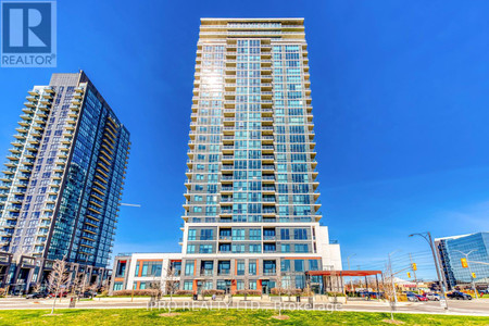
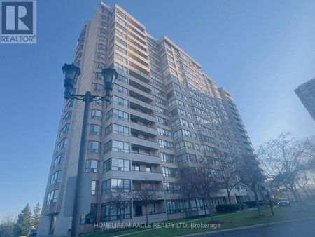
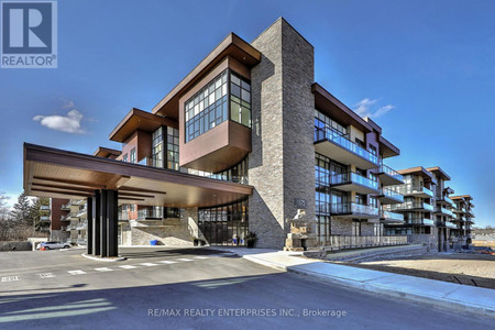
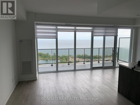
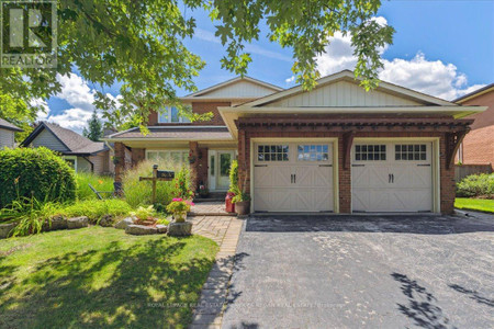
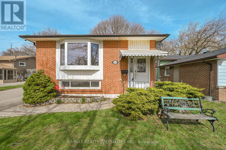
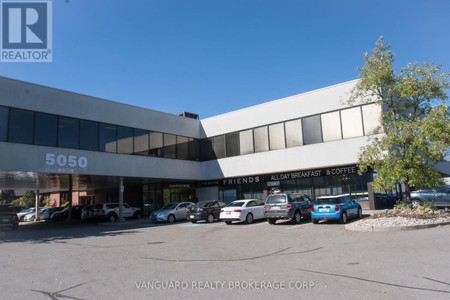
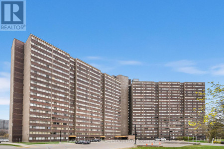
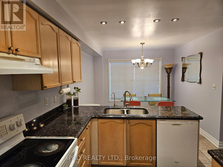
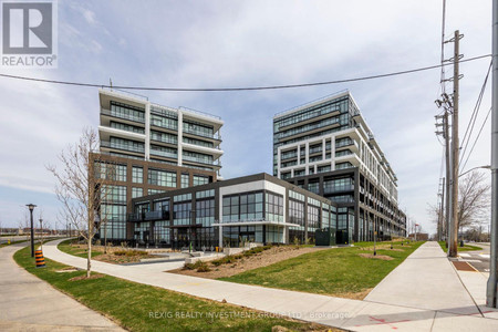
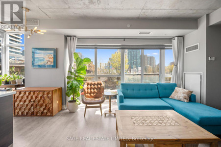
Real Estate listings near Parkdale, Toronto
Parkdale is a neighbourhood and former village in Toronto, Ontario, Canada, west of downtown. The neighbourhood is bounded on the west by Roncesvalles Avenue, on the north by the CP Rail line where it crosses Queen Street and Dundas Street. It is bounded on the east by Dufferin Street from Queen Street south, and on the south by Lake Ontario. The original village incorporated an area north of Queen Street, east of Roncesvalles from Fermanagh east to the main rail lines, today known as part of the Roncesvalles neighbourhood. The village area was roughly one square kilometer in area. The City of Toronto extends the neighbourhood boundaries to the east, south of the CP Rail lines, east to Atlantic Avenue, as far south as the CN Rail lines north of Exhibition Place, the part south of King Street commonly known as the western half of Liberty Village neighbourhood.
Parkdale was founded as an independent settlement within York County in the 1850s. It was incorporated as a village in 1879 and amalgamated with Toronto in 1889. It was an upper income residential area for the first half of the 20th century, with several notable mansions. The area changed dramatically with the building of the Gardiner Expressway in 1955, which resulted in the demolition of the southern section of the neighbourhood and the Sunnyside Amusement Park, and the creation of a barrier between the neighbourhood and the north shore of Lake Ontario. A boom in apartment building construction followed, replacing whole blocks of homes with blocks of apartment buildings. Some of the older large residential buildings remain though many were converted into rooming houses. The demographic composition changed considerably, including a higher proportion of lower income and newcomer families. Today, it is a working-class neighbourhood, with a large percentage of low-income households concentrated in South Parkdale, and an entry point for new immigrants, most recently South Asians and Tibetan. The visible minority population in North Parkdale (between Queen and Landsdowne) has changed overall to include fewer Asian, South Asian and Black residents between the census years 2006-2011 (GNR: 34%). The distribution, of said visible minorities, has changed from being predominantly Black visible minorities to predominantly South Asian (between 2006 and 2011 census).
The area has a vibrant storefront commercial strip along Queen Street West that has seen an increase in restaurants and bars in the 2010s, increasing to the point that planning controls were put in place on the opening of new restaurants and bars from 2012.