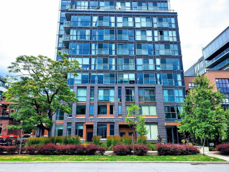
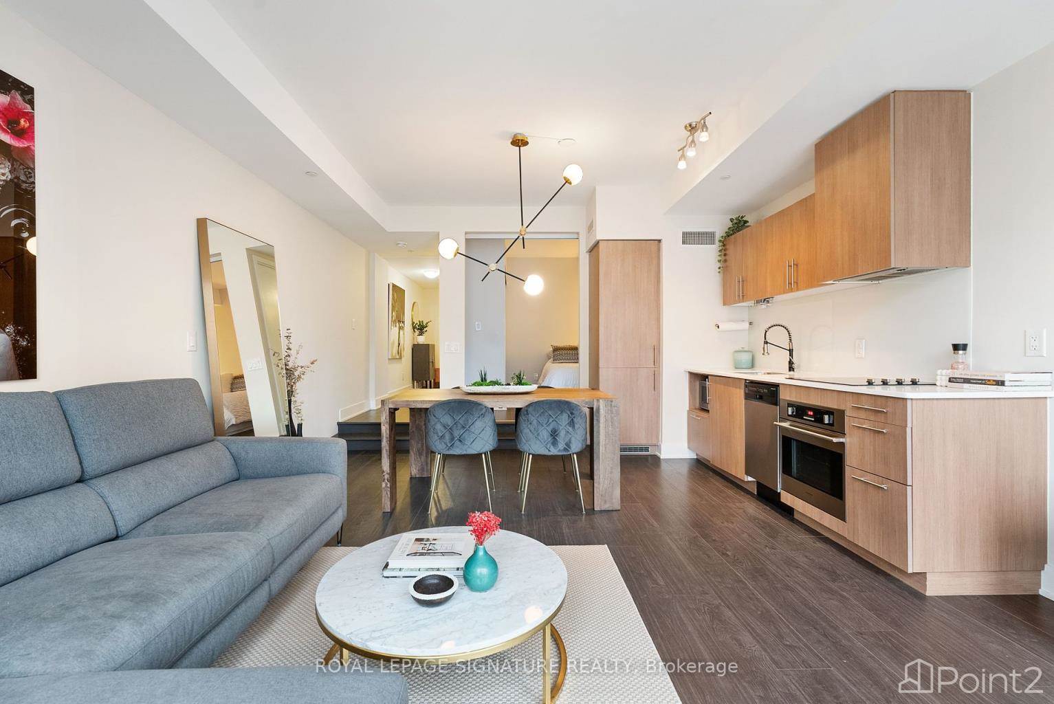
508 Wellington St W, Toronto
508 Wellington St W, Toronto
×
5 Photos
- Bedrooms: 1
- Bathrooms: 1
- Type: Residential
- Added: 10 days ago
- Type: Residential
- Listed by: Point2
Property Details
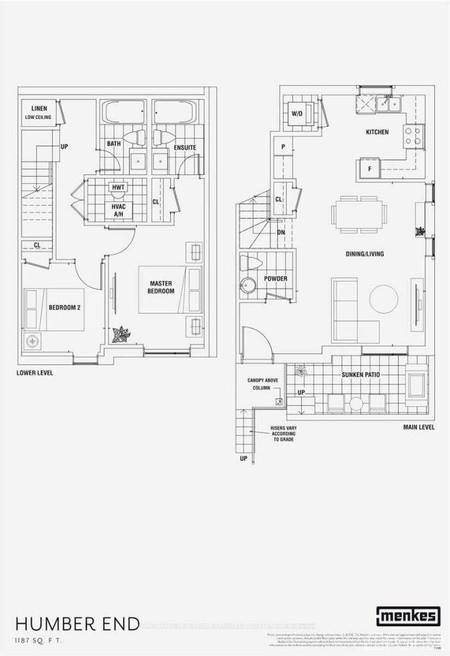
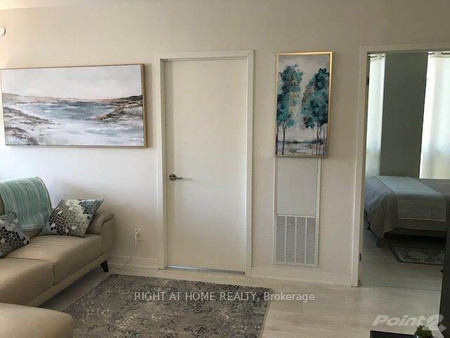
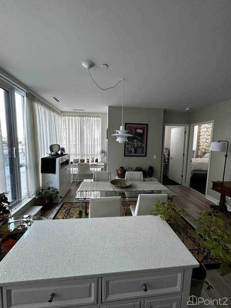
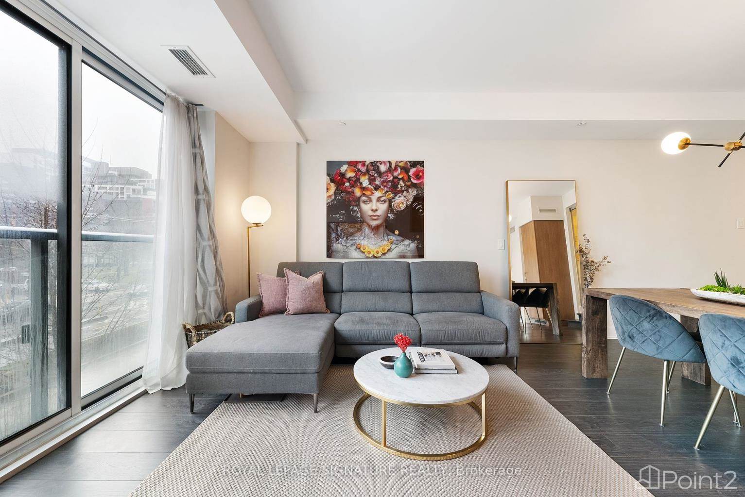
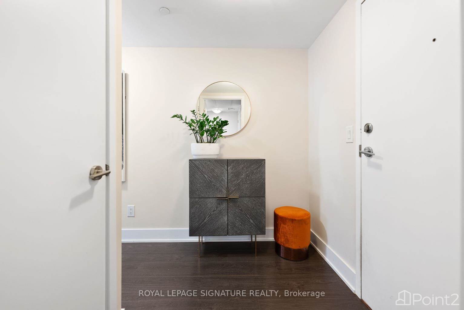
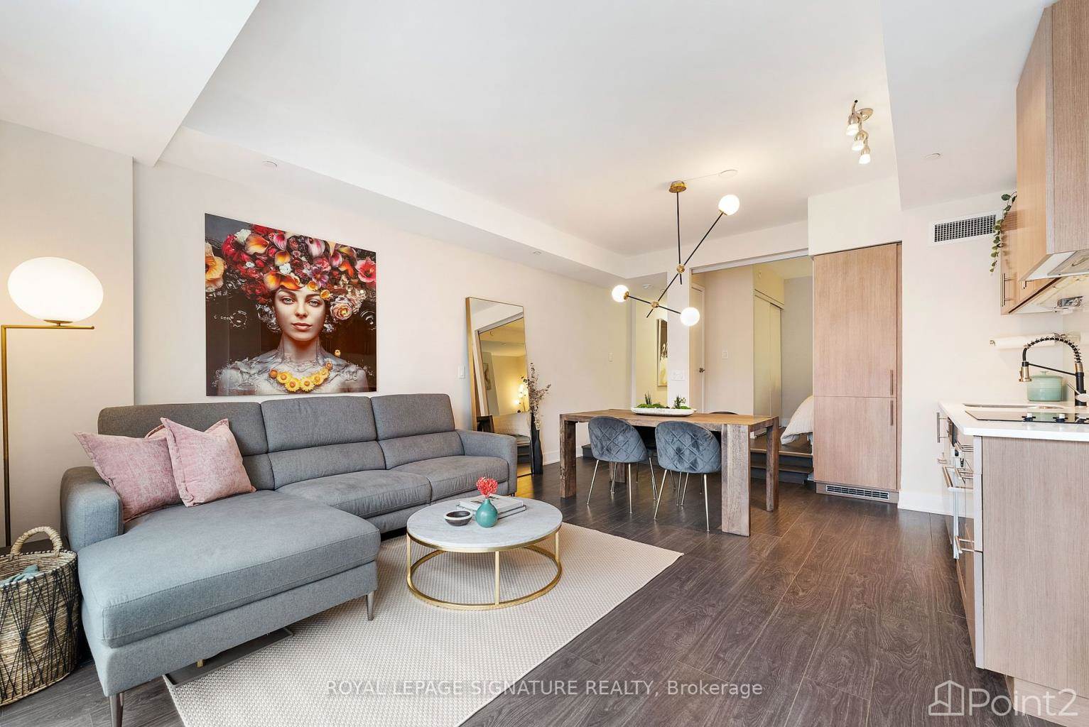
Step into one of Toronto's most coveted boutique residences, The Downtown Condos at 508 Wellington St.W. This spacious 1-bedroom, 1-bathroom unit, with floor to ceiling south-facing windows offers 646 square feet of open-concept, modern living space. Nestled in the vibrant heart of King West, enjoy the convenience of being mere steps away from the bustling Entertainment District with the city's best restaurants and nightlife, Toronto's newest multi-use hot spot The Well, public transportation, and easy highway access for your daily commute!To view this home call or text DANEYA +1 (416) 570-2542**NOT INTENDED TO SOLICIT BUYERS ALREADY UNDER CONTRACT**- if you already have a real estate agent please refer to them for informationDANEYA ZAMBRI+1 (416) 570-2542
Best Mortgage Rates
powered by

Nearby Places
Similar Houses Stat in Toronto
508 Wellington St W mortgage payment