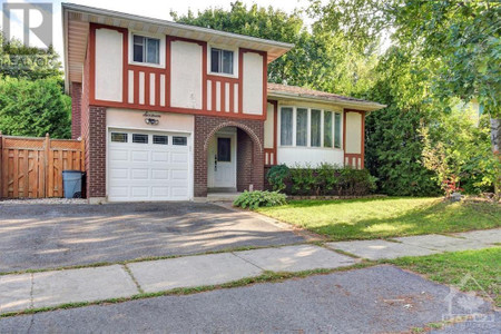
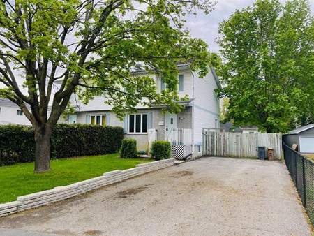
626 Cartographe St, Ottawa
- Bedrooms: 3
- Bathrooms: 3
- Type: Residential
Source: Public Records
Property Details
Note: This property is not currently for sale or for rent on Ovlix.
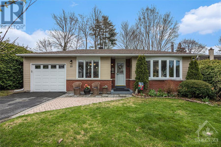
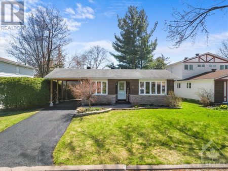
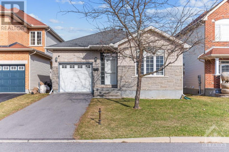
We have found 6 Houses that closely match the specifications of the property located at 626 Cartographe St with distances ranging from 2 to 10 kilometers away. The prices for these similar properties vary between 424,000 and 899,000, providing a good range for comparison. Moreover, we have also discovered that there are a few open Houses in the K4A1J7 postal code area of Ottawa Ontario Canada.
Nearby Places
| Name | Type | Address | Distance |
| Trim station | 3:10 AM and 4:20 AM, as service for the station ha... | 1.1 km | |
| Tim Hortons | Cafe | 911 Watters Rd | 1.7 km |
| Jonny Canuck's Bar & Grill | Bar | 900 Watters Rd | 1.8 km |
| Subway | Restaurant | 900 Watters | 1.9 km |
| Petrie Island | The islands were formed from clay and sand deposit... | 2.1 km | |
| Petrie Island Park | Park | Ottawa | 2.3 km |
| Province of Canada | The Act of Union 1840, passed July 23, 1840, by th... | 2.6 km | |
| St. Peter Catholic High School | The current principal is Norma McDonald... | 2.7 km | |
| Saint Peter High School | School | 750 Charlemagne Blvd | 2.7 km |
| Fallingbrook, Ottawa | Joseph Boulevard to the north, Trim Road to the ea... | 2.9 km | |
| Notting Gate | According to the Canada 2011 Census, this area had... | 2.9 km | |
| École Élémentaire Catholique Des Pionniers | School | 720 Merkley Prom | 2.9 km |