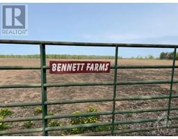
505 Bennett Road, Kemptville
505 Bennett Road, Kemptville
×
10 Photos
- MLS®: 1373804
- Type: Lots and Land
- Added: 108 days ago
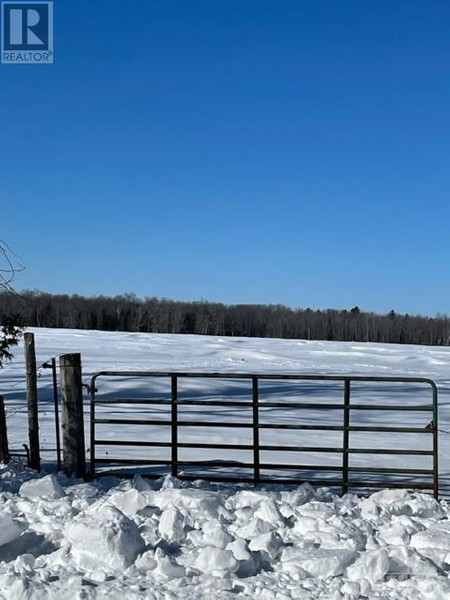
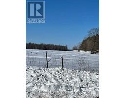
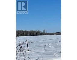
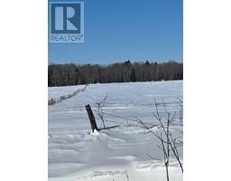
Property Details
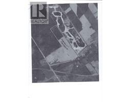
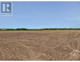
50 ACRES ZONED MINERAL AGGREGATE PRESERVATION (MXAP) and a part of the southern half RURAL RU. THERE IS NO WET LANDS (PSW) ON THE SUBJECT AS PER LETTERS FROM MINISTRY OF NATURAL RESOURCES (LETTERS ON FILE). BUYER IS RESPONSIBLE TO VARIFY ZONING, AND AGGREGATE QUALITY. SURVEY OF PROPERTY ON FILE. BELL EASEMENT ACROSS THE PROPERTY ON SOUTH END OF PROPERTY IS NOT BEING USED. PROPERTY IS LOCATED WEST OF A LICENSED PIT AND EAST OF A SECOND PROPERTY UNDER ZONING AMENDMENT TO BECOME A LICENSED PIT. INVESTMENT OPPORTUNITY FOR YOUR FUTURE AGGREGATE SUPPLY. (id:1945)
Property Information
- List AOR: Ottawa
- Tax Year: 2022
- Basement: Not Applicable, Unknown
- Current Use: Other
- Lot Features: Other
- Photos Count: 10
- Water Source: None
- Lot Size Units: acres
- Parcel Number: 681350150
- Road Surface Type: Paved road
- Tax Annual Amount: 430
- Lot Size Dimensions: 50
- Zoning Description: RURAL
 |
This listing content provided by REALTOR.ca has
been licensed by REALTOR® members of The Canadian Real Estate Association |
|---|