201 Main Street, Alliance
201 Main Street, Alliance
×
1 Photos
- MLS®: a2108159
- Type: Lots and Land
- Added: 75 days ago
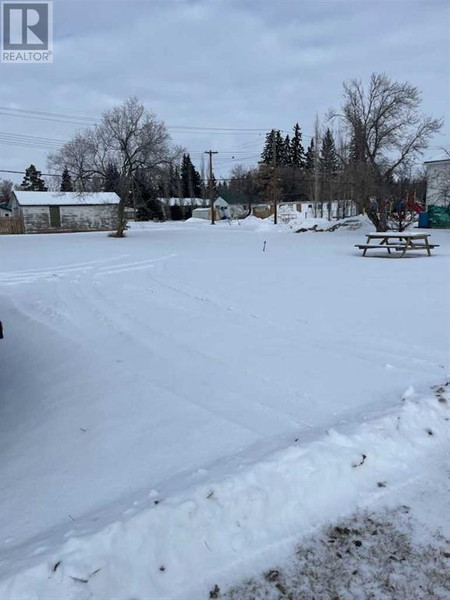
Property Details
Large commercial / Retail lot in the business district of this farming community. Includes two services sites. (id:1945)
Property Information
- Tax Lot: 1, 2, Pt. 3
- Tax Year: 2023
- Tax Block: 4
- Photos Count: 1
- Lot Size Units: square feet
- Parcel Number: 0015070816
- Common Interest: Freehold
- Subdivision Name: Alliance
- Tax Annual Amount: 870
- Lot Size Dimensions: 9750.00
- Zoning Description: Commercial
 |
This listing content provided by REALTOR.ca has
been licensed by REALTOR® members of The Canadian Real Estate Association |
|---|