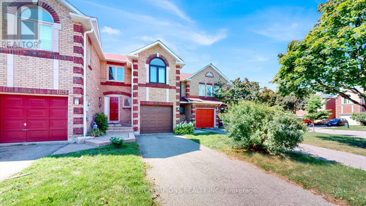
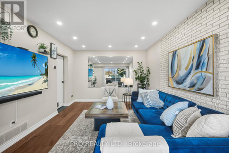
B 3 Falaise Rd, Toronto
- Bedrooms: 3
- Bathrooms: 3
- Type: Townhouse
Source: Public Records
Property Details
Note: This property is not currently for sale or for rent on Ovlix.
We have found 6 Townhomes that closely match the specifications of the property located at B 3 Falaise Rd with distances ranging from 2 to 10 kilometers away. The prices for these similar properties vary between 499,999 and 909,000, providing a good range for comparison. Moreover, we have also discovered that there are a few open Townhomes in the M1E3B6 postal code area of Toronto Ontario Canada.
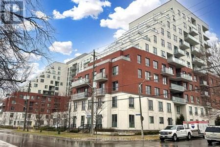
Property Location
- City: Toronto
- Country: Canada
- Latitude: 43.7689972
- Province: Ontario
- Longitude: -79.1887512
- Postal Code: M1E3B6
- Street Name: Falaise
- Unit Number: B
- Street Number: 3
- Street Suffix: Road
- Community Name: West Hill
- Street Address: #B -3 FALAISE RD
Nearby Places
| Name | Type | Address | Distance |
| West Hill Collegiate Institute | School | 350 Morningside Ave | 0.8 km |
| Morningside Park | Park | 390 Morningside Ave | 1.5 km |
| University of Toronto Scarborough | It was established in 1964 as Scarborough College,... | 1.6 km | |
| University of Toronto Scarborough | University | 1265 Military Trail | 1.8 km |
| Rouge Valley Centenary | Hospital | 2867 Ellesmere Rd | 1.8 km |
| Guild Inn Gardens | Park | 201 Guildwood Pkwy | 2.4 km |
| Sir Wilfrid Laurier Collegiate Institute | School | Toronto | 2.5 km |
| Pope John Paul II Catholic Secondary School | School | 685 Military Trail | 2.5 km |
| Highland Creek, Toronto | To the east are the neighbourhoods of Port Union a... | 2.6 km | |
| Masaryk Memorial Institute Inc | Establishment | 450 Scarborough Golf Club Rd | 2.7 km |
| Bombay Palace | Restaurant | 795 Markham Rd | 3.2 km |
| Babies R Us CEDARBRAE MALL | Store | 3495 Lawrence Ave E | 3.3 km |
Demographic Information
Neighbourhood Education
| Master's degree | 10 |
| Bachelor's degree | 85 |
| University / Above bachelor level | 15 |
| Certificate of Qualification | 10 |
| College | 115 |
| University degree at bachelor level or above | 110 |
Neighbourhood Marital Status Stat
| Married | 285 |
| Widowed | 40 |
| Divorced | 80 |
| Separated | 50 |
| Never married | 290 |
| Living common law | 60 |
| Married or living common law | 345 |
| Not married and not living common law | 455 |
Neighbourhood Construction Date
| 1961 to 1980 | 190 |
| 1981 to 1990 | 45 |
| 1991 to 2000 | 20 |
| 1960 or before | 140 |