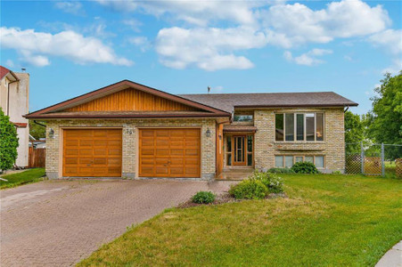
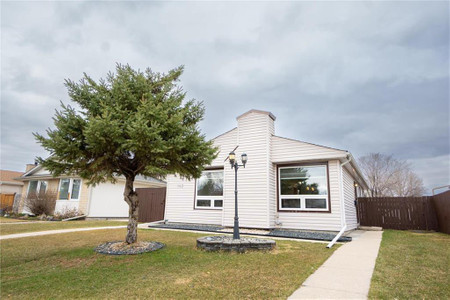
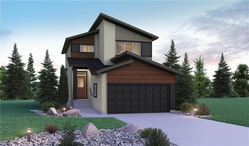
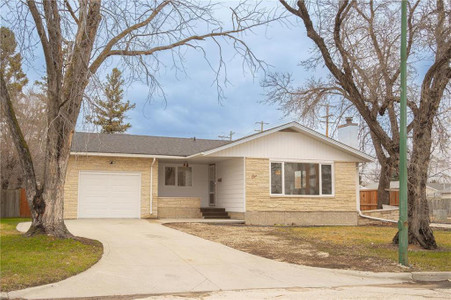
932 Dorchester Avenue, Winnipeg
- Bedrooms: 5
- Bathrooms: 3
- Living area: 2120 square feet
- Type: Residential
Source: Public Records
Property Details
Note: This property is not currently for sale or for rent on Ovlix.
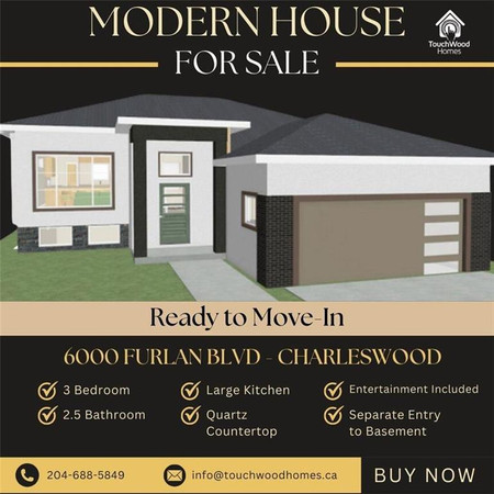
We have found 6 Houses that closely match the specifications of the property located at 932 Dorchester Avenue with distances ranging from 2 to 10 kilometers away. The prices for these similar properties vary between 399,000 and 589,900, providing a good range for comparison. Moreover, we have also discovered that there are a few open Houses in the R3M0R9 postal code area of Winnipeg Manitoba Canada.
Nearby Places
| Name | Type | Address | Distance |
| The Grove Pub & Restaurant | Restaurant | 164 Stafford St | 0.2 km |
| Crescentwood, Winnipeg | Enderton... | 0.2 km | |
| St. Ignatius Church, Winnipeg | Ignatius School... | 0.3 km | |
| St. Ignatius School | It was founded in 1911 by the Parish of St... | 0.3 km | |
| Kelvin High School | Kelvin teaches grades 9 to 12 and is part of the S... | 0.5 km | |
| St. Mary's Academy (Winnipeg) | It was founded by the Grey Nuns in 1869 and became... | 0.7 km | |
| Winnipeg South Centre | Winnipeg South Centre (French: Winnipeg-Centre-Sud... | 0.8 km | |
| Westgate Mennonite Collegiate | Westgate teaches religious studies as well as othe... | 0.9 km | |
| Shaarey Zedek Synagogue | Synagogue | 561 Wellington Crescent | 0.9 km |
| Shaarey Zedek Synagogue (Winnipeg) | Charles Henry Wheeler (architect) designed the ori... | 0.9 km | |
| Rockwood, Winnipeg | Its land area covers 0.97 km2, where in 2006 4,205... | 0.9 km | |
| Little Italy, Winnipeg | The district has many boutiques and restaurants... | 1.0 km |