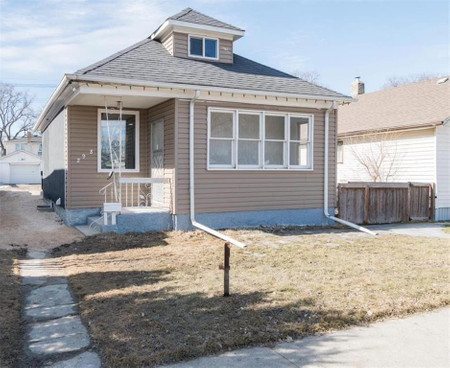
855 Jubilee Avenue, Winnipeg
- Bedrooms: 3
- Bathrooms: 3
- Living area: 1512 square feet
- Type: Residential
Source: Public Records
Property Details
Note: This property is not currently for sale or for rent on Ovlix.
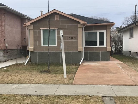
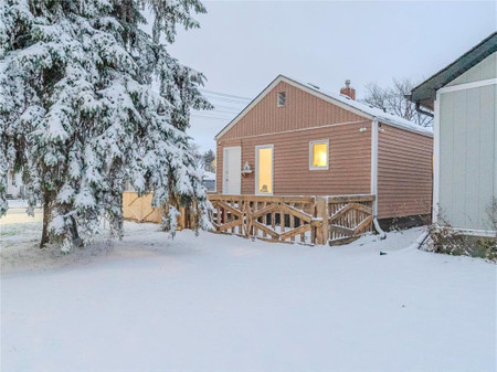
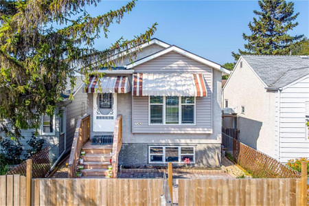
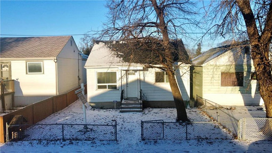
We have found 6 Houses that closely match the specifications of the property located at 855 Jubilee Avenue with distances ranging from 2 to 10 kilometers away. The prices for these similar properties vary between 179,990 and 371,500, providing a good range for comparison. Moreover, we have also discovered that there are a few open Houses in the R3L1R1 postal code area of Winnipeg Manitoba Canada.
Nearby Places
| Name | Type | Address | Distance |
| BDI Bridge | The BDI Bridge nickname is derived from the nearby... | 0.4 km | |
| Manitoba Electrical Museum | The museum is housed in a converted electrical sub... | 0.6 km | |
| Grant Park, Winnipeg | to the east... | 1.1 km | |
| Fort Garry-Riverview | It is bordered by the ridings of Fort Richmond, St... | 1.2 km | |
| Lord Roberts (electoral district) | The district is named after Field Marshal Lord Rob... | 1.2 km | |
| Nassau Street (Winnipeg) | The street is home to a prominent address, 55 Nass... | 1.3 km | |
| Grant Park Shopping Centre | Shopping mall | 1120 Grant Ave | 1.4 km |
| Luxalune Gastropub | Night club | 734 Osborne St | 1.4 km |
| Boston Pizza | Restaurant | 1160 Taylor Ave | 1.4 km |
| Grant Park Shopping Centre | Grant Park High School and the Pan-Am Pool are loc... | 1.4 km | |
| Fort Rouge, Winnipeg | Fort Rouge is not a discrete census district, so i... | 1.4 km | |
| Fort Garry, Winnipeg | and Lilac St.) is actually 3.75 km (2.33 mi.) from... | 1.4 km |