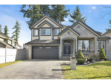
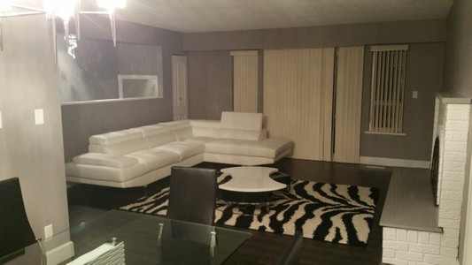
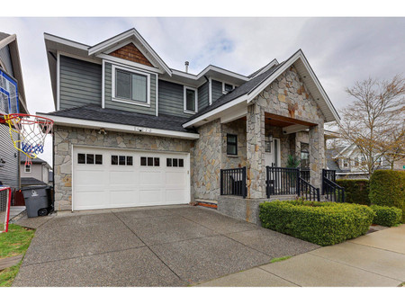
1454 Maple Street, White Rock
- Bedrooms: 5
- Bathrooms: 4
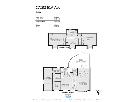
- Living area: 2842 square feet
- Type: Residential
Source: Public Records
Property Details
Note: This property is not currently for sale or for rent on Ovlix.
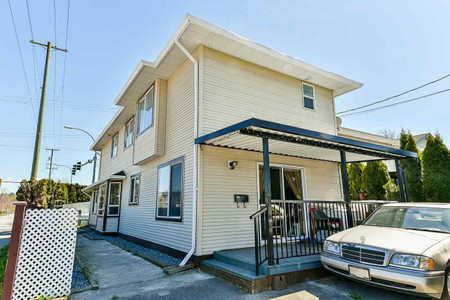
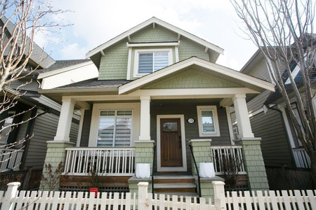
We have found 6 Houses that closely match the specifications of the property located at 1454 Maple Street with distances ranging from 2 to 10 kilometers away. The prices for these similar properties vary between 1,439,000 and 2,200,000, providing a good range for comparison. Moreover, we have also discovered that there are a few open Houses in the V4B4N3 postal code area of White Rock British Columbia Canada.
Nearby Places
| Name | Type | Address | Distance |
| Earl Marriott Secondary School | It is located on the edge of city limits, on 16 Av... | 0.4 km | |
| Peace Arch Hospital | It offers community hospital services such as: 24/... | 0.4 km | |
| White Rock Centre | Part of the TransLink system, it is home to routes... | 1.0 km | |
| Semiahmoo Shopping Centre | Bosa Properties purchased the mall in 2002 and had... | 1.1 km | |
| Boston Pizza | Restaurant | 1956 152 St | 1.4 km |
| White Rock, British Columbia | It borders Semiahmoo Bay and is surrounded on thre... | 1.4 km | |
| Campbell River (Semiahmoo Bay) | It was probably named after Archibald Campbell, US... | 1.5 km | |
| Semiahmoo Secondary School | The school currently has a student population of 1... | 2.0 km | |
| South Surrey Athletic Park | The park has three baseball diamonds, an indoor ba... | 2.4 km | |
| Semiahmoo Indian Reserve | It is under the administration of the Semiahmoo Fi... | 2.4 km | |
| Sunnyside, Surrey | ... | 2.8 km | |
| Semiahmoo First Nation | The band's main community and offices are located ... | 3.6 km |