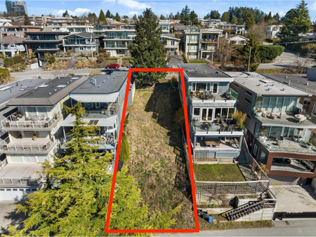
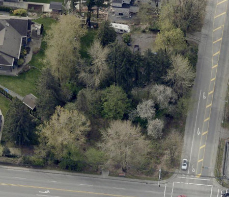
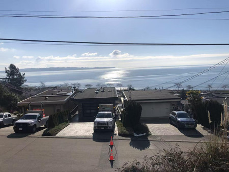
Lt 3 13791 56 Avenue, Surrey
- Type: Lots and Land
Source: Public Records
Property Details
Note: This property is not currently for sale or for rent on Ovlix.
We have found 6 Land that closely match the specifications of the property located at Lt 3 13791 56 Avenue with distances ranging from 2 to 10 kilometers away. The prices for these similar properties vary between 1,449,000 and 1,999,990, providing a good range for comparison. Moreover, we have also discovered that there are a few open Land in the V3X2Z9 postal code area of Surrey British Columbia Canada.
Nearby Places
| Name | Type | Address | Distance |
| Surrey/King George Airpark | Surrey/King George Airpark, (TC LID: CSK8), is loc... | 1.8 km | |
| Sullivan Heights Secondary School | School | 6248 144 St | 1.9 km |
| Sullivan Heights Secondary | Sullivan Heights opened on October 24, 2000, with ... | 1.9 km | |
| Panorama Ridge Secondary School | It has a French immersion program for students in ... | 1.9 km | |
| Panorama Ridge Secondary | School | 13220 64 Ave | 1.9 km |
| Serpentine River (British Columbia) | The river winds its way to its mouth at Mud Bay, o... | 2.5 km | |
| Cambridge Elementary School | Cambridge Elementary School, located in Surrey, Br... | 2.6 km | |
| Cambridge Elementary | School | Surrey | 2.6 km |
| Newton Exchange | It is the central transit hub for Newton Town Cent... | 3.2 km | |
| Princess Margaret Secondary School (Surrey) | The school is notable in Surrey for its sports pro... | 3.5 km | |
| Princess Margaret Secondary | School | 12870 72 Ave | 3.7 km |
| Boston Pizza | Restaurant | 7488 King George Hwy | 3.7 km |
Demographic Information
Neighbourhood Education
| Master's degree | 15 |
| Bachelor's degree | 70 |
| University / Below bachelor level | 10 |
| College | 45 |
| Degree in medicine | 15 |
| University degree at bachelor level or above | 100 |
Neighbourhood Marital Status Stat
| Married | 320 |
| Widowed | 15 |
| Divorced | 10 |
| Never married | 115 |
| Living common law | 20 |
| Married or living common law | 340 |
| Not married and not living common law | 150 |
Neighbourhood Construction Date
| 1961 to 1980 | 45 |
| 1981 to 1990 | 25 |
| 1991 to 2000 | 10 |
| 2001 to 2005 | 15 |
| 2006 to 2010 | 20 |
| 1960 or before | 35 |