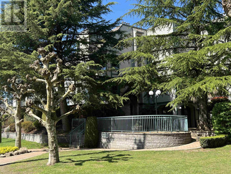
Name |
Type |
Address |
Distance |
Boston Pizza |
Restaurant |
15125 100 Ave |
1.0 km |
Johnston Heights Secondary School |
Johnston Heights Secondary is a public high school... |
|
1.1 km |
Johnston Heights Secondary |
School |
15350 99 Ave |
1.2 km |
Fraser Heights Secondary School |
School |
16060 108 Ave |
1.7 km |
Fraser Heights Secondary School |
Fraser Heights Secondary is a public high school i... |
|
1.7 km |
North Surrey Secondary School |
North Surrey Secondary is a public high school in ... |
|
2.1 km |
North Surrey Secondary School |
School |
15945 96 Ave |
2.2 km |
Port Mann |
Port Mann townsite was created in 1911 in the muni... |
|
2.7 km |
Fleetwood Town Centre |
Fleetwood Town Centre or Fleetwood is a town centr... |
|
2.9 km |
Pacific Academy |
School |
10238 168th street |
3.2 km |
Pacific Academy |
Pacific Academy is a private Christian school in S... |
|
3.2 km |
Port Mann Bridge |
The Port Mann Bridge is a 10-lane cable-stayed bri... |
|
3.3 km |
King George Tower |
King George Tower was a proposed skyscraper set to... |
|
3.4 km |
Tree Island (British Columbia) |
Tree Island is a small island in the Fraser River ... |
|
3.4 km |
Central City Shopping Centre |
Store |
10153 King George Blvd |
3.5 km |
King George station |
King George station is located on an elevated port... |
|
3.5 km |
Surrey Central station |
Surrey Central is a station in Surrey, British Col... |
|
3.6 km |
Coquitlam River |
The Coquitlam River (/koʊˈkwɪtləm/ or /kəˈkwɪtləm/... |
|
3.6 km |
Surrey City Centre Public Library |
The Surrey City Centre Library is the main branch ... |
|
3.7 km |
Holy Cross Regional High School |
Holy Cross Regional High School, or "HCHRS," is a ... |
|
3.7 km |
Central City Shopping Centre |
Central City Shopping Centre (formerly known as Su... |
|
3.7 km |
Surrey Memorial Hospital |
Surrey Memorial Hospital (SMH) is a publicly funde... |
|
3.7 km |
Douglas Island (British Columbia) |
Douglas Island is a 187-hectare island in British ... |
|
3.7 km |
Holy Cross Regional High School |
School |
16193 88 Ave |
3.8 km |
Whalley, British Columbia |
Whalley is the city centre of Surrey, British Colu... |
|
3.8 km |
Gateway station (TransLink) |
Gateway station is a station on an elevated portio... |
|
3.8 km |
Surrey, British Columbia |
Surrey is a city in the province of British Columb... |
|
3.9 km |
Queen Elizabeth Secondary School |
Queen Elizabeth Secondary is a public high school ... |
|
4.1 km |
Boston Pizza |
Restaurant |
15980 Fraser Hwy #801 |
4.1 km |
Surrey Bend Regional Park |
Surrey Bend Regional Park is a 860-acre park in Su... |
|
4.2 km |
Kwantlen Park Secondary School |
École Kwantlen Park Secondary School is a public h... |
|
4.3 km |
Enver Creek Secondary School |
Enver Creek Secondary School is a public high scho... |
|
4.3 km |
Pitt River |
The Pitt River in British Columbia, Canada is a la... |
|
4.6 km |
Hard Rock Casino Vancouver |
Hard Rock Casino Vancouver (formerly Boulevard Cas... |
|
4.7 km |
Hard Rock Casino Vancouver |
Restaurant |
2080 United Blvd |
4.7 km |
Fleetwood Park Secondary School |
Fleetwood Park Secondary is a public high school i... |
|
5.1 km |
Fleetwood Park Secondary School |
School |
7940 156 St |
5.1 km |
Colony Farm Regional Park |
Colony Farm Regional Park is a park along the Coqu... |
|
5.2 km |
Barnston Island Ferry |
The Barnston Island Ferry is a ferry across Parson... |
|
5.4 km |
Barnston Island Herb Co |
Food |
148 Barnston Island |
5.4 km |
Scott Road station |
Scott Road station is located on an elevated porti... |
|
5.6 km |
Fraser Mills, British Columbia |
Fraser Mills was a municipality on the north bank ... |
|
5.8 km |