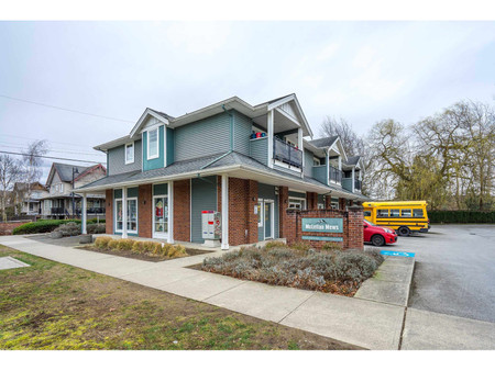
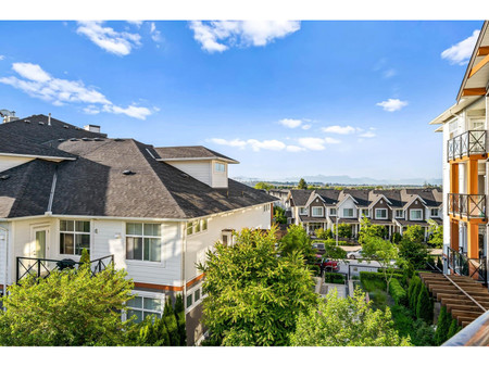
307 1280 Merklin Street, White Rock
- Bedrooms: 2
- Bathrooms: 2
- Living area: 851 sqft
- Type: Apartment
Source: Public Records
Property Details
Note: This property is not currently for sale or for rent on Ovlix.
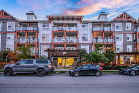
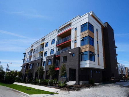
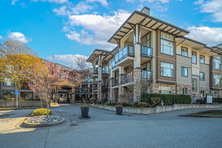
We have found 6 Condos that closely match the specifications of the property located at 307 1280 Merklin Street with distances ranging from 2 to 10 kilometers away. The prices for these similar properties vary between 569,900 and 725,000, providing a good range for comparison. Moreover, we have also discovered that there are a few open Condos in the V4B4B9 postal code area of White Rock British Columbia Canada.
Nearby Places
| Name | Type | Address | Distance |
| Peace Arch Hospital | It offers community hospital services such as: 24/... | 0.6 km | |
| White Rock Centre | It is the southern-most major transit hub in the M... | 0.7 km | |
| White Rock, British Columbia | It is a member municipality of Metro Vancouver, th... | 0.7 km | |
| Semiahmoo Shopping Centre | The anchor store is Save-On-Foods... | 0.9 km | |
| Earl Marriott Secondary School | It is referred to as the 'Home of the Mariners'... | 1.1 km | |
| Boston Pizza | Restaurant | 1956 152 St | 1.4 km |
| Campbell River (Semiahmoo Bay) | Originally labelled Campbell Creek in 1917 by the ... | 1.6 km | |
| Semiahmoo Secondary School | Founded in 1940 as the first senior secondary scho... | 1.6 km | |
| South Surrey Athletic Park | The park is bound by 18th avenue to the south, 148... | 2.2 km | |
| Sunnyside, Surrey | ... | 2.6 km | |
| Semiahmoo Indian Reserve | It is under the administration of the Semiahmoo Fi... | 2.7 km | |
| Semiahmoo Bay | The bay is named for the Semiahmoo First Nation, w... | 3.3 km |