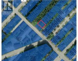
Lots 3 4 5 E 9th Avenue, Prince Rupert
Lots 3 4 5 E 9th Avenue, Prince Rupert
×
13 Photos
- MLS®: r2872198
- Type: Lots and Land
- Added: 17 days ago
Property Details
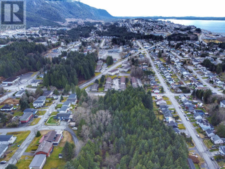
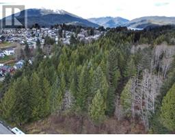
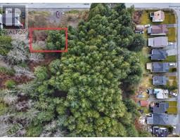
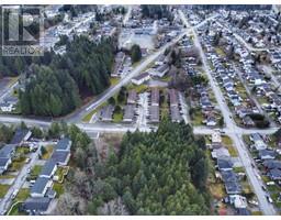
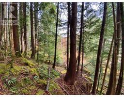
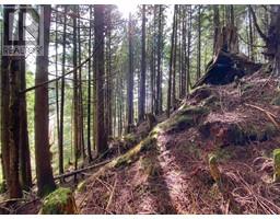
* PREC - Personal Real Estate Corporation. This forested 7500sf building lot is located close to schools, shopping, boat launch and the downtown core. There is no other development adjacent to this property which allows for privacy and great sun exposure. (id:1945)
Property Information
- Photos Count: 13
- Water Source: Municipal water
- Lot Size Units: square feet
- Parcel Number: 014-488-361
- Common Interest: Freehold
- Tax Annual Amount: 79.92
- Lot Size Dimensions: 7500
 |
This listing content provided by REALTOR.ca has
been licensed by REALTOR® members of The Canadian Real Estate Association |
|---|
