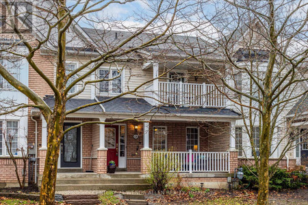
1 Mapping Way, Whitby
- Bedrooms: 3
- Bathrooms: 3
- Type: Townhouse
Source: Public Records
Property Details
Note: This property is not currently for sale or for rent on Ovlix.
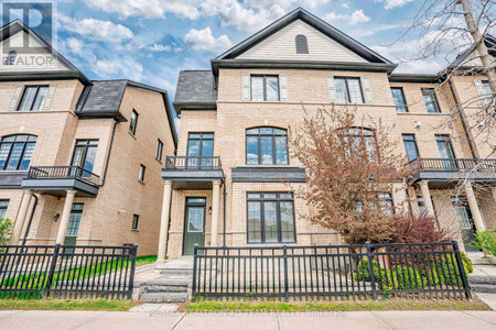
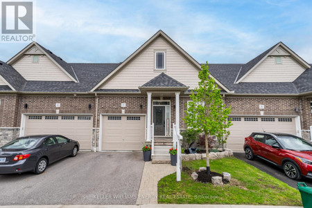
We have found 6 Townhomes that closely match the specifications of the property located at 1 Mapping Way with distances ranging from 2 to 10 kilometers away. The prices for these similar properties vary between 768,900 and 949,900, providing a good range for comparison. Moreover, we have also discovered that there are a few open Townhomes in the L1R0R4 postal code area of Whitby Ontario Canada.
Property Location
- City: Whitby
- Country: Canada
- Latitude: 43.905899
- Province: Ontario
- Longitude: -78.9222336
- Postal Code: L1R0R4
- Street Name: Mapping
- Street Number: 1
- Street Suffix: Way
- Community Name: Rolling Acres
- Street Address: 1 MAPPING WAY