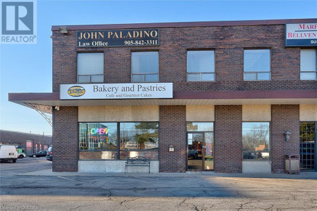
23 2861 Sherwood Heights Dr, Oakville
- Type: Commercial
Source: Public Records
Property Details
Note: This property is not currently for sale or for rent on Ovlix.
We have found 6 Commercial that closely match the specifications of the property located at 23 2861 Sherwood Heights Dr with distances ranging from 2 to 10 kilometers away. The prices for these similar properties vary between 248,000 and 399,900, providing a good range for comparison. Moreover, we have also discovered that there are a few open Commercial in the L6J7K1 postal code area of Oakville Ontario Canada.
Nearby Places
| Name | Type | Address | Distance |
| Boston Pizza | Restaurant | 2011 Winston Park Dr | 0.3 km |
| Dirty Martini | Night club | 2075 Winston Park Dr | 0.4 km |
| Clarkson Secondary School | Clarkson is an average school in both population (... | 1.6 km | |
| Clarkson Secondary School | School | 2524 Bromsgrove Rd | 1.6 km |
| The Meeting House | It was founded in 1985 by Craig and Laura Sider, a... | 1.7 km | |
| Clarkson GO Station | It is a stop on the Lakeshore West line train serv... | 2.7 km | |
| Mississauga—Erindale | It was created in 2003 from parts of Mississauga C... | 2.8 km | |
| Hillcrest Public School (Mississauga) | It opened in 1958, and is attended by approximatel... | 3.1 km | |
| Clarkson, Mississauga | It is bordered by Lake Ontario to the south, Oakvi... | 3.1 km | |
| Sheridan Centre Bus Terminal | It is situated on the eastern side of Sheridan Cen... | 3.1 km | |
| Alfred Atkey | However, all those above him flew in single-seat f... | 3.2 km | |
| Iroquois Ridge High School | It is often referred to as "IRHS" or "The Ridge."... | 3.2 km |
Demographic Information
Neighbourhood Education
| Master's degree | 45 |
| Bachelor's degree | 100 |
| University / Above bachelor level | 10 |
| College | 25 |
| Degree in medicine | 10 |
| University degree at bachelor level or above | 160 |
Neighbourhood Marital Status Stat
| Married | 225 |
| Widowed | 5 |
| Divorced | 10 |
| Separated | 5 |
| Never married | 105 |
| Living common law | 15 |
| Married or living common law | 235 |
| Not married and not living common law | 130 |
Neighbourhood Construction Date
| 1961 to 1980 | 10 |
| 1981 to 1990 | 115 |
| 1991 to 2000 | 10 |