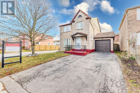
1016 Dragonfly Ave, Other
1016 Dragonfly Ave, Other
×
1 Photos
- Bedrooms: 3
- Bathrooms: 3
- Type: Residential
- Added: 163 days ago
- Type: Residential
- Listed by: Point2
Property Details
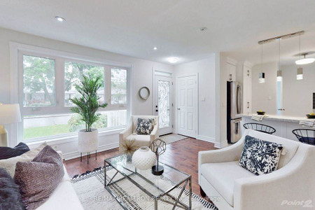
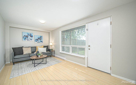
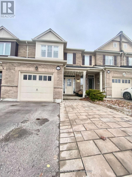
This Mattamy built home is located in the up and coming Seaton community. Sun Filled Corner Unit, Large Open Concept Main Floor With Walkout To Balcony. Close to neighborhood Waterpark, Scenic hiking trails, shops/restaurants and schools. Hardwood Floors In Living/Dining/den. Easy Access To Hwy 407 & 401To view this home call or text SHELBY 905-910-1237**NOT INTENDED TO SOLICIT BUYERS ALREADY UNDER CONTRACT**- if you already have a real estate agent please refer to them for informationSHELBY TANYA647 825 8468PRABHA416 357 5327
Best Mortgage Rates
powered by

Nearby Places
Similar Houses Stat in Other
1016 Dragonfly Ave mortgage payment